


Description
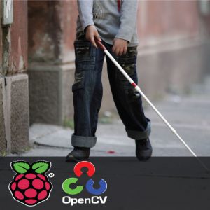
Smart Navigation System
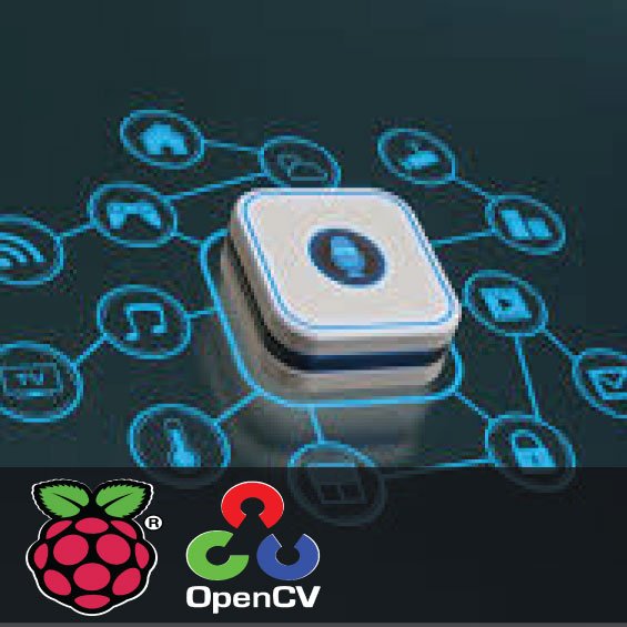
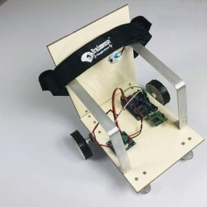
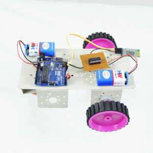
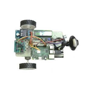
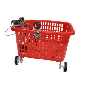
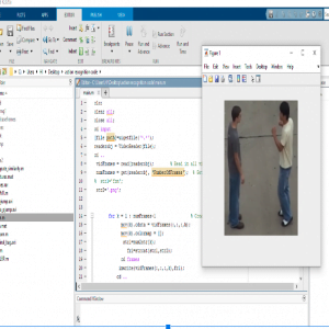
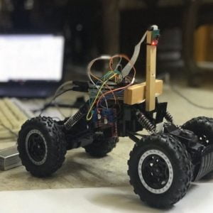
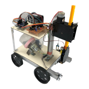
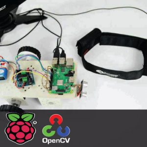
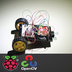
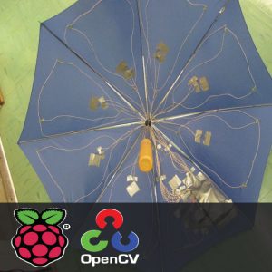
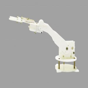
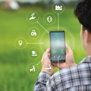
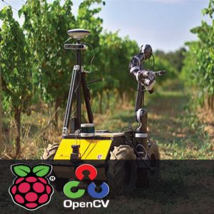
Smart Navigation System for Blind People using Raspberry Pi and OpenCV – This paper presents the development of smart navigation for blind people using Google App Maker where we will develop our own API for Blind and low-vision users. Google App maker additionally, provides tools for developers who want to build accessibility features into their apps. In this project, we will be using Raspberry pi to which we will make a smart stick for blink people which will be embedded with moisture and an ultrasonic sensor to detect the real-time hurdles while walking with the Google Maps cloud attached to the raspberry pi for perfect navigation for the low-vision or blind people. This will make a smart system that will be very useful for blind people and also at the same time more accurate and safe. Blind people interact with the system invoice. The cloud platform communicates with the smartphone using 4G technology. The proposed system can provide more abundant surrounding information and more accurate navigation, and verify the practicability of the newly proposed system.
INTRODUCTION
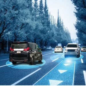
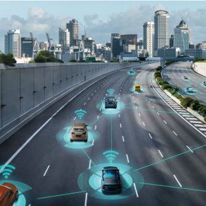
Safe navigation and detailed perception in unfamiliar environments are challenging activities for blind people. This paper proposes a cloud and vision-based navigation system for the blind. The goal of the system is not only to provide navigation but also to make blind people perceive the world in as much detail as possible and live like normal people.
EXISTING SYSTEM
In the existing system, the smart blind stick is used which is embedded with some sensors which will tell the atmospheric condition of the atmosphere but not work with the navigation of routes.?
PROPOSED SYSTEM
In this proposed system, both sensors and the Google Map API make the navigation smart and interactive with the low-vision and blind people through voice. Navigation System for Blind
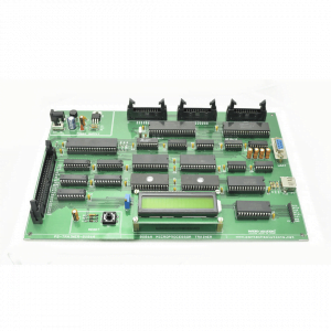
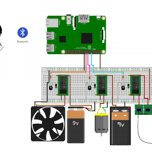
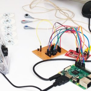
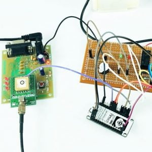
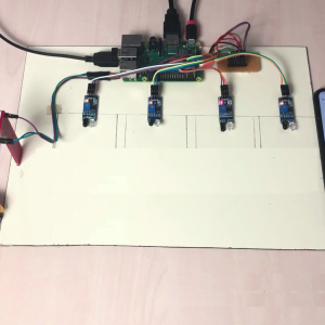
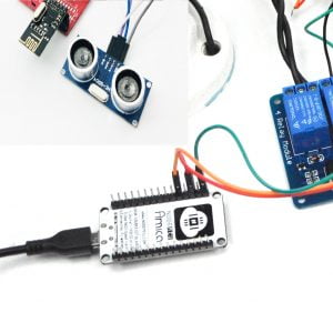
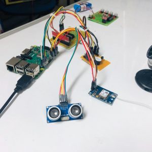
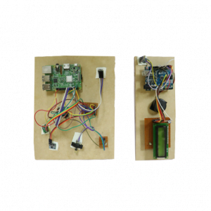
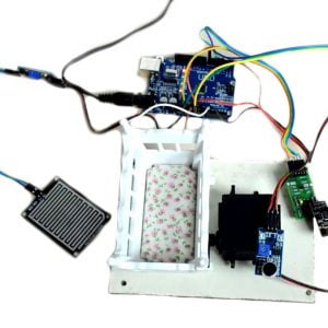
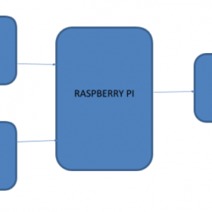
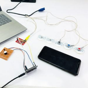
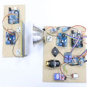
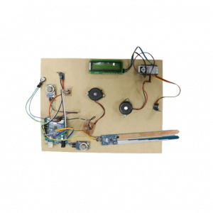
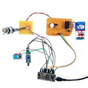
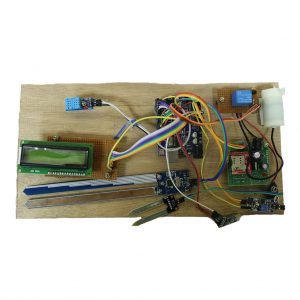
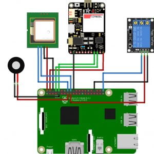
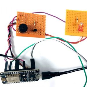
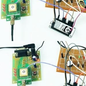
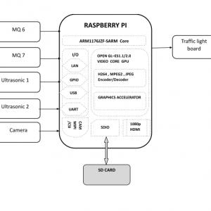
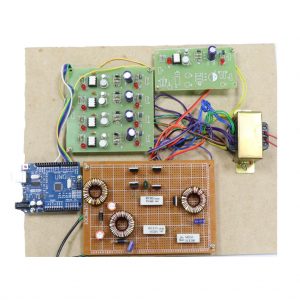
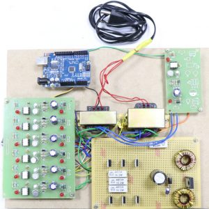
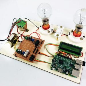
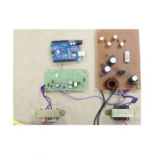
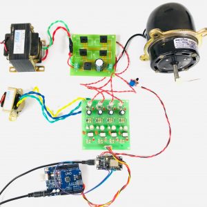
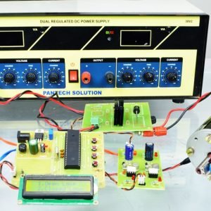
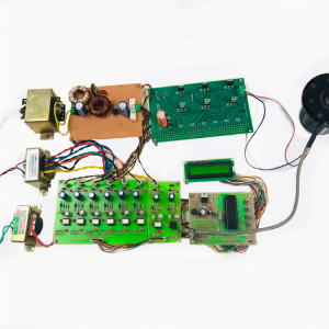
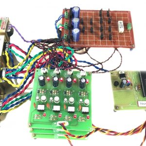
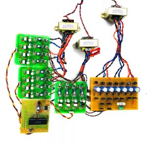
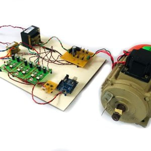
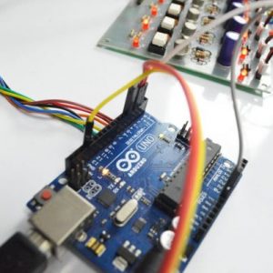
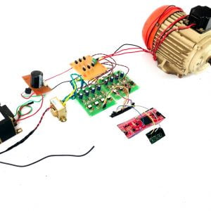
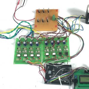
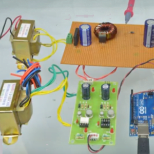
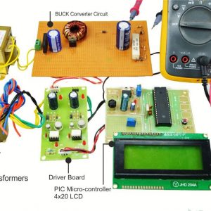
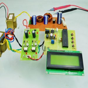
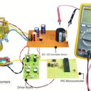
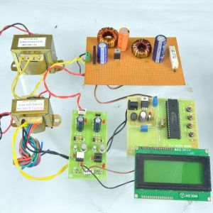
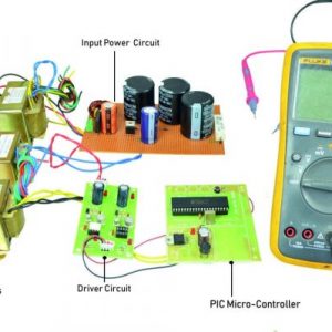
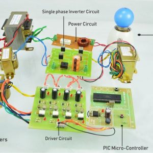
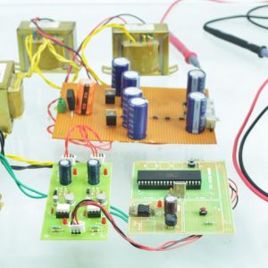
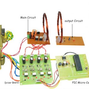
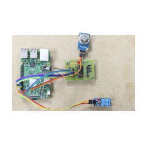
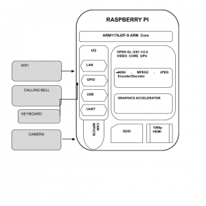
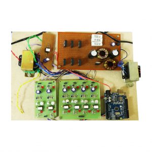
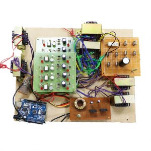
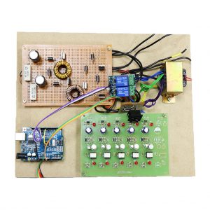
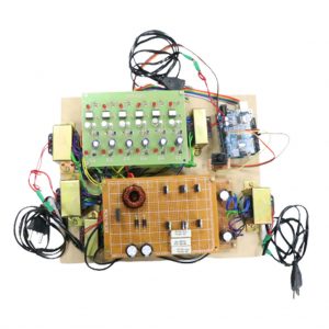
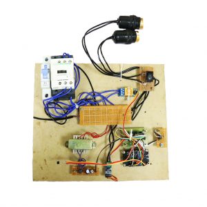
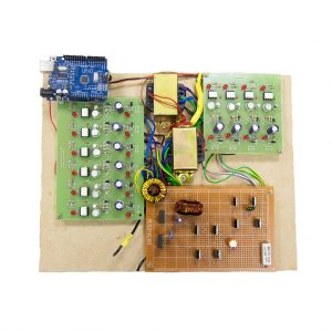
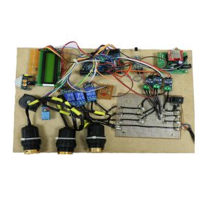
BLOCK DIAGRAM

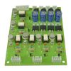
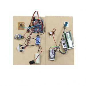
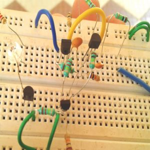
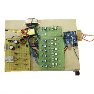
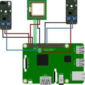
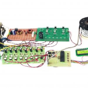
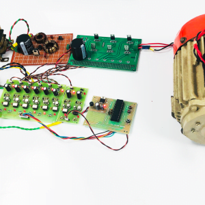
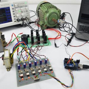
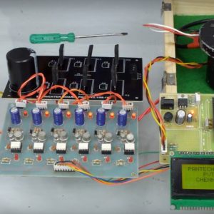
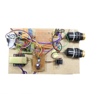
CIRCUIT DIAGRAM

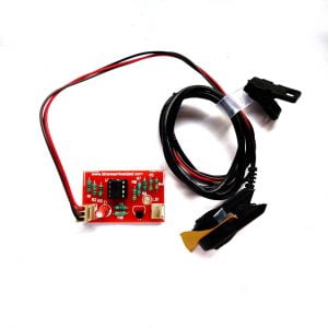
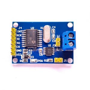
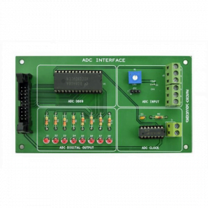
- In this project MCP3008 is used, so connect a 3.3v pin from raspberry to all sensors
- Similarly, MCP3008 and all sensor’s ground pins should be grounded
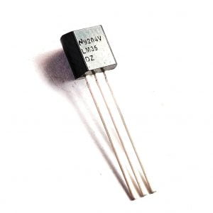
- Now connect the sensor’s output pins to each channel of MCP3008 (ex: LM-35 to channel 0, LDR to channel 1, and Moisture sensor to channel 2 of? MCP3008)
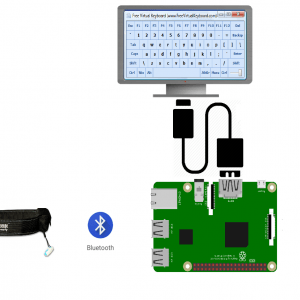
- Google MAP Navigation is interacted with the Raspberry pi to make the audio voice of route navigation.
- Connect power supply for Raspberry pi
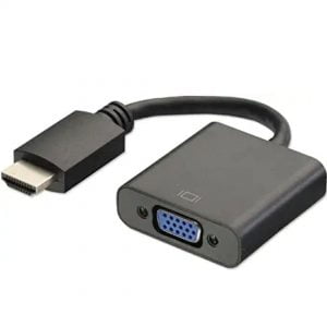
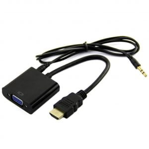
- Plug the HDMI cable in Raspberry pi from the monitor using VGA to HDMI converter cable
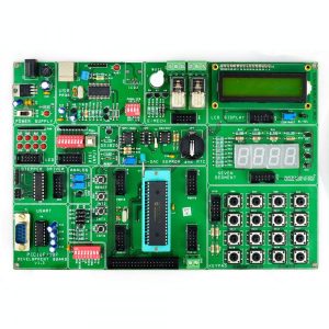
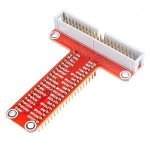
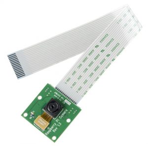
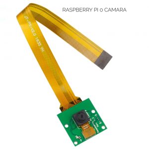
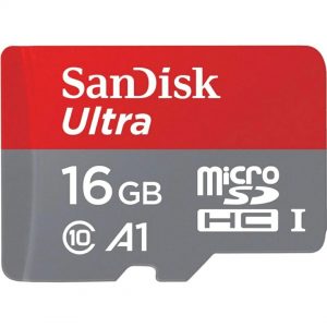
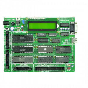
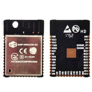
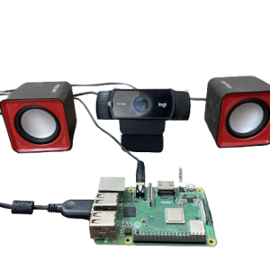
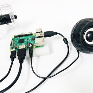
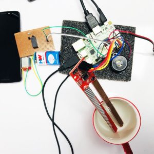
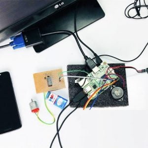
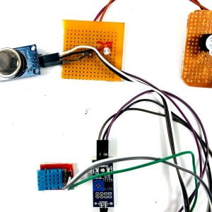
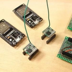
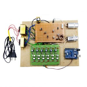
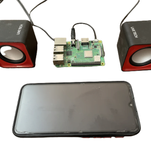
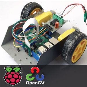
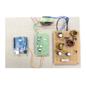
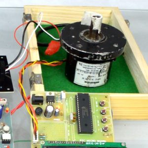
HARDWARE REQUIREMENTS
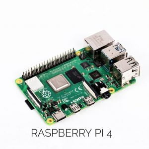
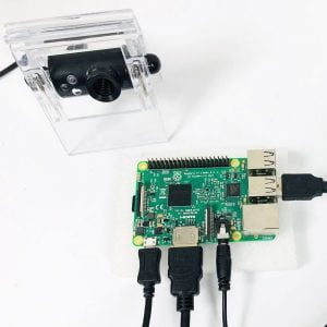
- Raspberry Pi
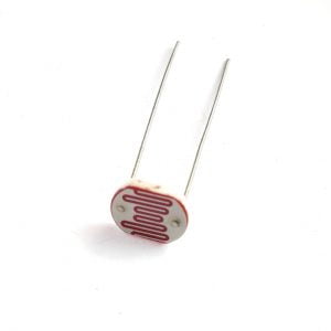
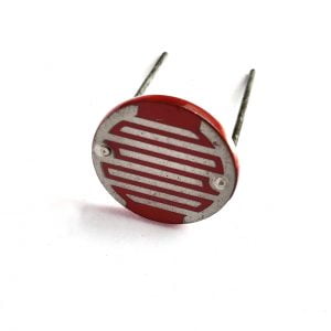
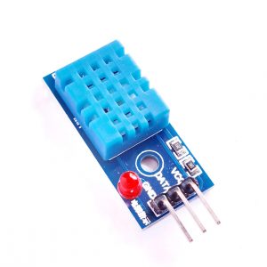
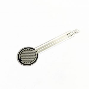
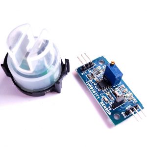
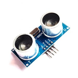
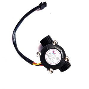
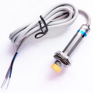
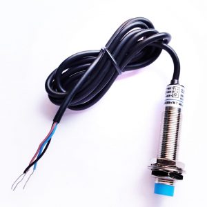
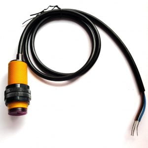
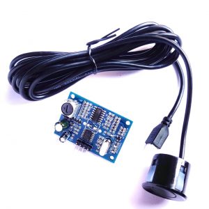
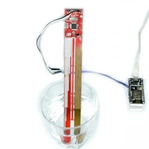
- Ultra-Sonic Sensor
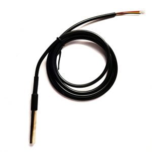
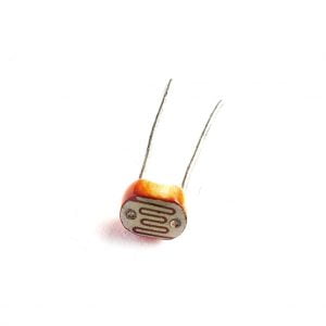
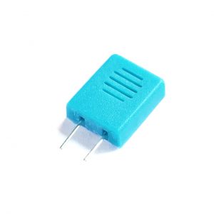
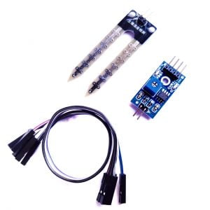
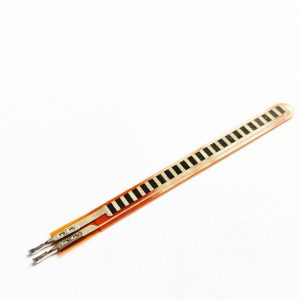
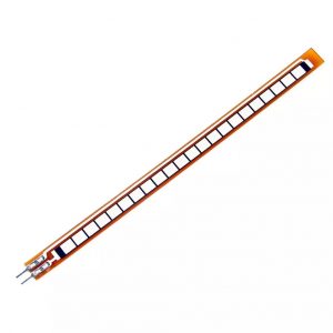
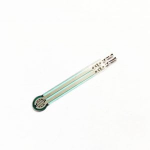
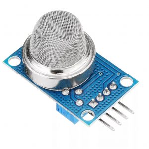
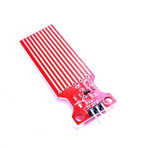
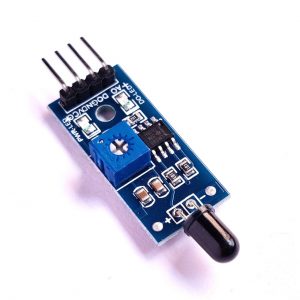
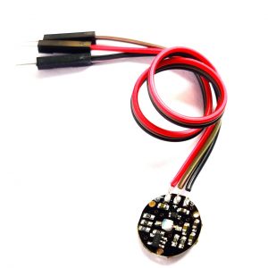
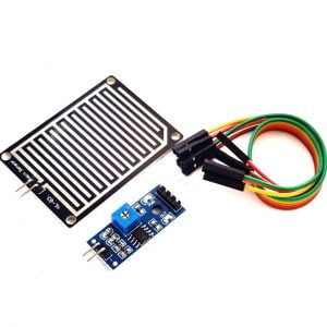
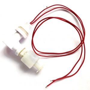
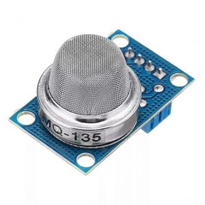
- Moisture Sensor
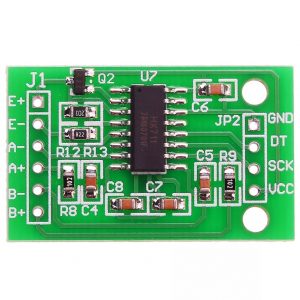
- MCP3008(ADC IC)
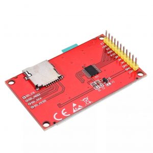
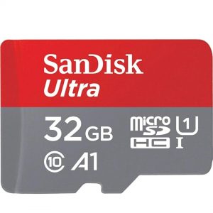
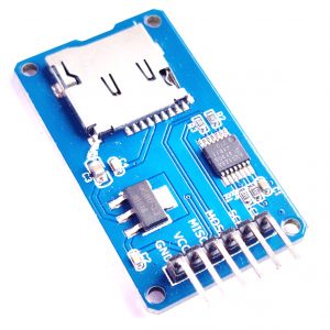
- SD card
- Monitor
SOFTWARE REQUIREMENTS
- Raspbian Jessie
- Google Map API
- Language: Linux
- Audio output.
CONCLUSION
According to this system, blind people interact with the system invoice. The cloud platform communicates with the smartphone through Wi-Fi or 4G mobile communication technology. For testing the system performance, two groups of tests have been conducted. One is perception and the other is navigation. Test results show that the proposed system can provide more abundant surrounding information and more accurate navigation, and verify the practicability.


Customer Reviews
There are no reviews yet.