
Master Your Domain
200+ programs across 6 cutting-edge technology domains
badge By Role
- AI Engineer
- Data Scientist
- Full Stack Developer
- VLSI Engineer
- EV Design Engineer
- Edge AI Specialist
- Embedded Firmware
- MLOps Architect
category By Domain
- psychology AI & Machine Learning
- analytics Data Science & Analytics
- code Software & Web Development
- memory Embedded Systems & IoT
- developer_board VLSI Design
- electric_car EV & Autonomous
workspace_premium By Skill
All Skills arrow_forwardIndustrial Internships 2026
80% practical · 8+ projects · Pantech - SVNIT dual cert
Hardware Lab Kits
200+ industry-grade lab kits
DIY Kits & Hardware Projects
Build, learn, and ship real projects with curated hardware kits
library_books Resources
LIDAR Systems & Applications
Master LIDAR technology with hands‑on projects. Learn sensing principles, point cloud processing, SLAM, and applications in autonomous vehicles and robotics.
LIDAR Systems & Applications
Comprehensive Syllabus Outline
A comprehensive curriculum designed to take you from beginner to professional.
Tech Stack
Explore the essential software, hardware, and tools powering LIDAR systems and autonomous vehicle applications.
Course Stats
₹12.5 LPA
Average Salary₹38 LPA
Highest Salary87%
Salary Hike5,400+
Job VacanciesKey Features
Mentorship
Receive guidance and insights from industry expertsHands-on Experience
Gain practical skills in a real-world cutting-edge projects.Networking
Connect with professionals and peers in your fieldSkill Development
Enhance your technical and soft skillsCareer Advancement
Boost your resume with valuable experienceDual Certificate
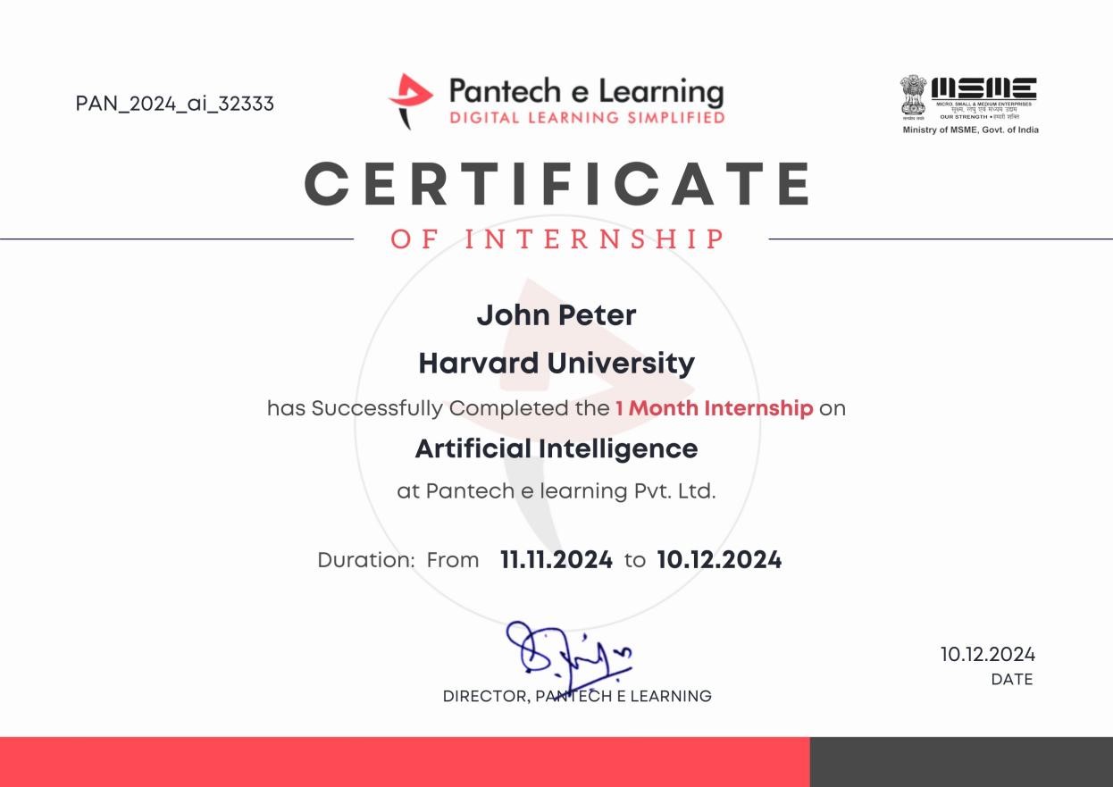
Get a certification to showcase your achievementsLet Your Certificates Speak For You
Our certification formally validates your skill set in recruiter searches with unique QR code verification and LinkedIn-ready structures.
Unique Credential ID & QR Code
Recruiters can scan to instantly verify your project files, source repository, and official completion marks.
Linkedin Certified Recognition
Easily push to your Linkedin profile with 1-click credential linking to increase high-end corporate recruiter views.
Where Our Learners Work
Our alumni are driving innovation at the world's most prestigious technology companies.











Why Pantech?
An expert-crafted learning infrastructure built for technical fluency.
Industrial Expert Mentors
Direct guidance and weekly doubt clearing sessions hosted by hardware, embedded, and software engineering veterans.
24/7 Interactive Support
Ask coding doubts anytime on our student community workspace and receive instant assistance.
Self-Paced Learning Engine
Access lifetime recorded modules with adaptive pacing to balance academics and professional work.
Career Guidance Support
Exclusive resume review, mock interviews, and placement assistance from industry experts.
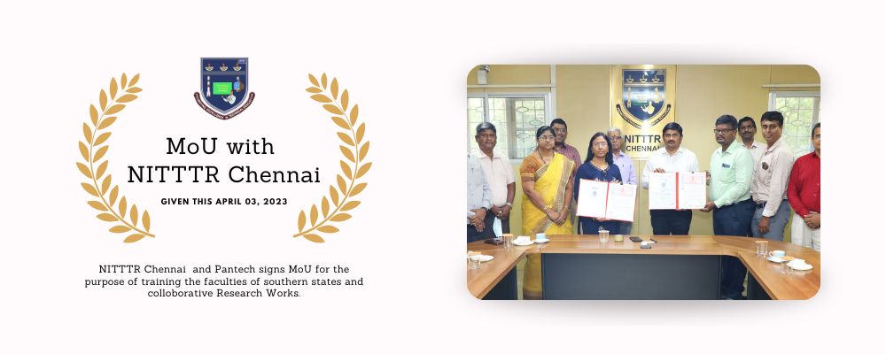
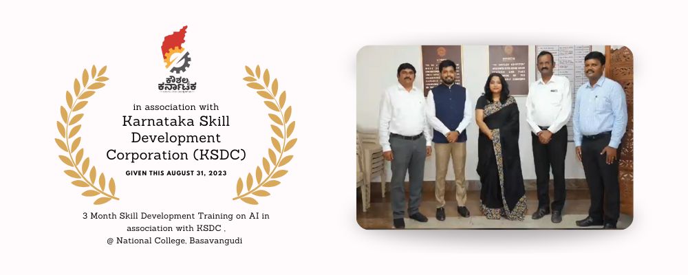
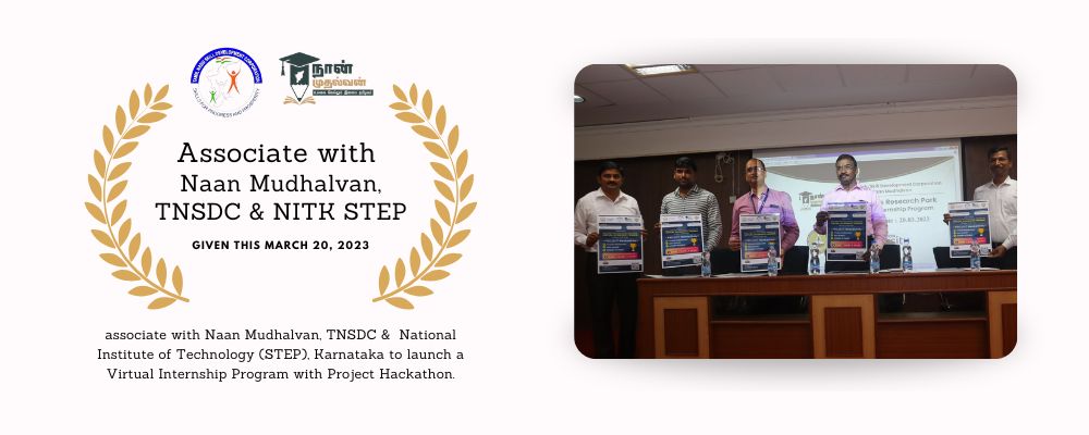
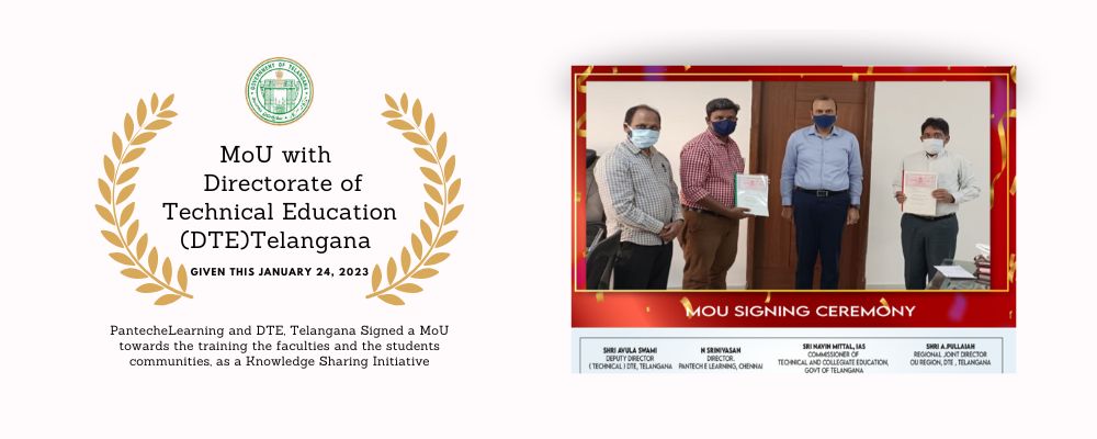
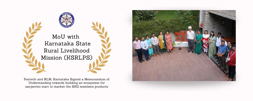
We are Accredited by






What Our Students Say
See how Pantech courses accelerated career transitions across India.
Student Pantech
VERIFIED LEARNERGet exclusive lifetime access to coursework, simulators, custom templates, and direct placement opportunities.
Need immediate counseling?
+91 8925533488/89
Frequently Asked Questions
Find instant answers to all common questions about our technical certificate courses.
No. Basic engineering or programming knowledge is helpful, but the course introduces LIDAR fundamentals step‑by‑step, making it accessible to learners from varied backgrounds.
You’ll practice with point cloud processing, SLAM mapping, obstacle detection, and sensor fusion exercises using open‑source libraries like PCL, ROS, and Open3D.
You’ll have 90 days of access to all lessons, recorded sessions, and resources, giving you flexibility to learn at your own pace.
Yes. You’ll learn how LIDAR sensors work, how to process their data, and how to integrate them with GPS, IMU, and camera systems for real‑world applications.
This specialization equips you for roles in autonomous vehicle engineering, robotics development, geospatial mapping, and sensor fusion research, all of which are in high demand.