

Description
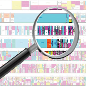
Matlab Code for Land Change Detection
ABSTRACT
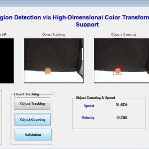
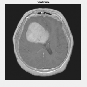
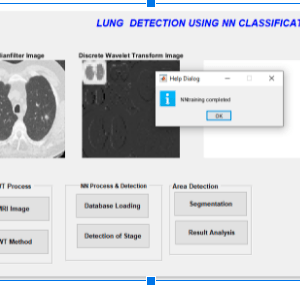
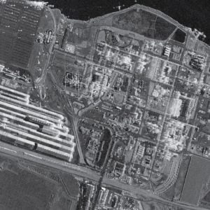
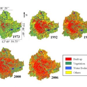
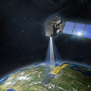
The project presents a change detection approach for synthetic aperture radar (SAR) images based on an image fusion and supervised classifier system. The image fusion technique will be introduced to generate a different image by using complementary information from a mean-ratio image and a log-ratio image. NSCT (Non- sub-sampled contourlet transform) fusion rules based on an average operator and minimum local area gradient are chosen to fuse the contourlet coefficients for a low-frequency band and a high-frequency band, respectively to restrain the background information and enhance the information of changed regions in the fused difference image. For the remote sensing images, differencing (subtraction operator) and rationing (ratio operator) are well-known techniques for producing a different image. In differencing, changes are measured by subtracting the intensity values pixel by pixel between the considered couple of temporal images. In rationing, changes are obtained by applying a pixel-by-pixel ratio operator to the considered couple of temporal images. In the case of SAR images, the ratio operator is typically used instead of the subtraction operator since the image differencing technique is not adapted to the statistics of SAR images. An artificial neural network type multi-layer perception or backpropagation with a feed-forward network will be proposed for classifying changed and unchanged regions in the fused difference image. This classifier comes under supervised segmentation which is worked based on training cum classification. The results will be proven that rationing generates a better difference image for change detection using a supervised classifier segmentation approach and the efficiency of this algorithm will be exhibited by sensitivity and correlation evaluation.
System Analysis
Existing Systems
- Averaging and Maximization methods based on spatial level fusion
- Gray level Thresholding and Otsu segmentation
- K means clustering methods
Drawbacks of Exisitng System
- Contrast information loss due to averaging method
- Maximization method sensitive to sensor noise and high spatial distortion
- K means – It is not suitable for all lighting conditions of images
- Difficult to measure the cluster quality
Proposed Method
Multi-temporal synthetic aperture radar image analysis for land cover change detection based on,
- NSCT based image fusion approach and Artificial neural network with a feed-forward backpropagation model
Advantages
- The segmentation algorithm Proves to be simple and effective
- The greyscale Co-occurrence matrix performed well in NN
- Better texture and edge representation
- Accurate detection of foreground changes by fusion
- Less sensitive to noises and less processing time.
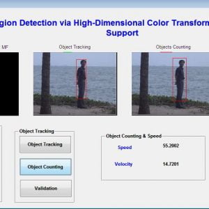
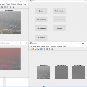
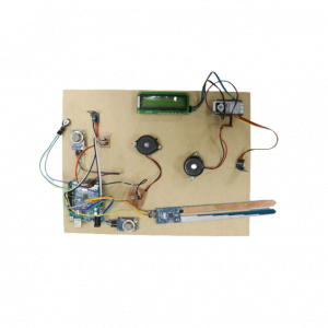
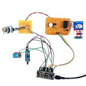
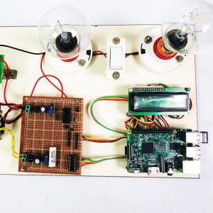
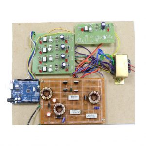
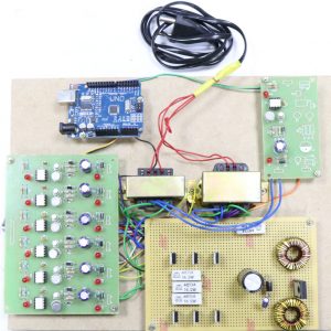
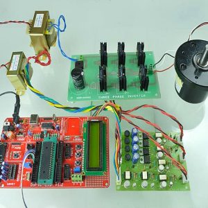
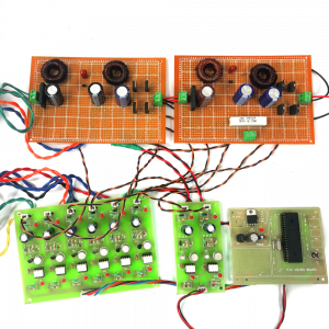
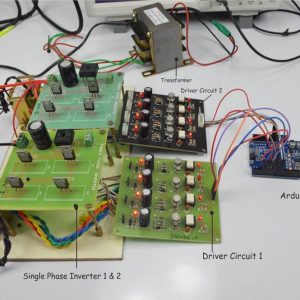
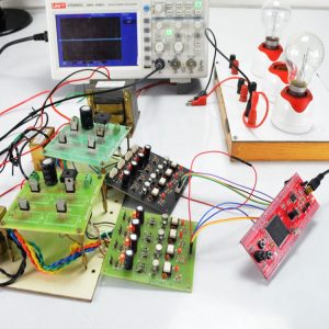
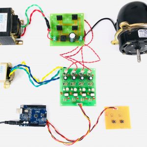
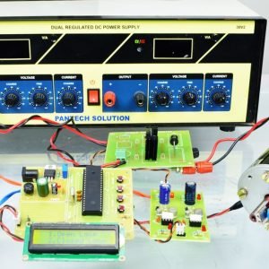
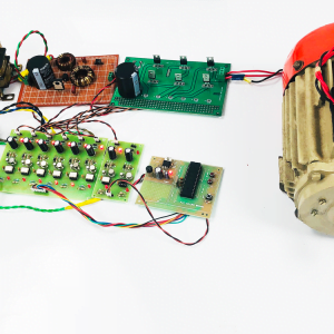
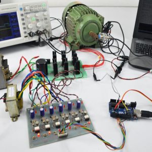
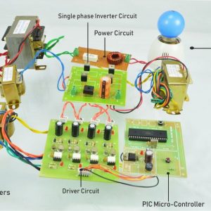
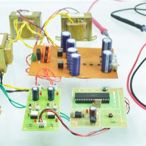
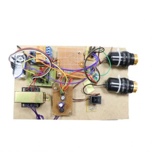
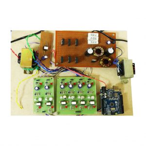
Block Diagram

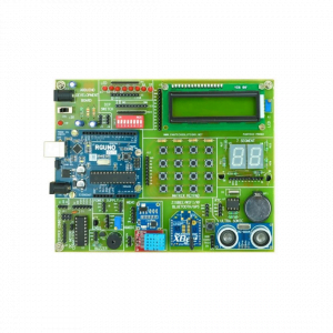
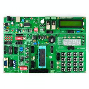
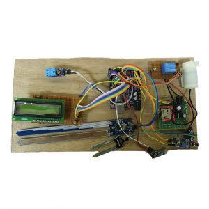
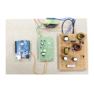
Hardware Requirements
- system
- 4 GB of RAM
- 500 GB of Hard disk
Software Requirement
- MATLAB 2014a
REFERENCES
[1] S. Dasgupta, C. F. Stevens, and S. Navlakha, A neural algorithm for a fundamental computing problem, Science, vol. 358, no. 6364, pp.793-796, 2017.
[2] X. Tang, L. Jiao, and W. J. Emery, SAR Image Content Retrieval Based on Fuzzy Similarity and Relevance Feedback, IEEE Journal of selected topics in Applied Earth Observations and Remote Sensing, vol. 10, no. 5,pp. 1824-1842, 2017.
[3] L. Jiao, X. Tang, B. Hou, et al., SAR images retrieval based on semantic classification and region-based similarity measure for earth observation, IEEE Journal of Selected Topics in Applied EarthObservations and Remote Sensing, vol. 8, no. 8, pp. 3876-3891, 2017.
[4] X. Tang and L. Jiao, Fusion Similarity-Based Reranking for SARImage Retrieval, IEEE Geoscience, and Remote Sensing Letters, vol. 14, no. 2, pp. 242-246, 2017.
[5] M. Datcu, H. Daschiel, A. Pelizzari, et al., Information mining in remote sensing image archives: System concepts, IEEE Transactions onGeo-Science, and Remote Sensing, vol. 41, no. 12, pp. 2923-2936, 2017.


Customer Reviews
There are no reviews yet.