

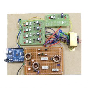
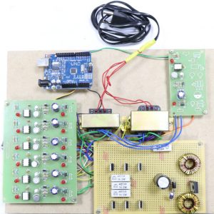
Description
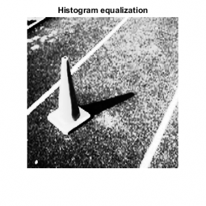
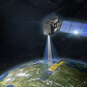
Matlab Code for Image Fusion for Satellite Images
Unlike multispectral (MSI) and panchromatic (PAN) images, generally the spatial resolution of hyperspectral images(HSI) is limited, due to sensor limitations. In many applications,HSI with a high spectral as well as spatial resolution are required.In this paper, a new method for spatial resolution enhancementof a HSI using spectral unmixing and sparse coding (SUSC) is introduced. Matlab Code for Image Fusion for Satellite Images
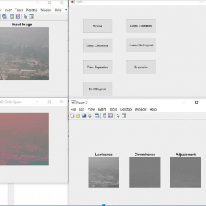
The proposed method fuses high spectral resolution features from the HSI with high spatial resolution features from anMSI of the same scene. Endmembers are extracted from the HIS by spectral unmixing, and the exact location of the endmembersis obtained from the MSI. This fusion process by using spectral unmixing is formulated as an ill-posed inverse problem whichrequires a regularization term in order to convert it into a wellposedinverse problem.
As a regularizer, we employ sparse coding(SC), for which a dictionary is constructed using high spatial resolution MSI or PAN images from unrelated scenes. The proposed algorithm is applied to real Hyperion and ROSIS datasets. Compared with other state-of-the-art algorithms based on pan sharpening, spectral unmixing, and SC methods, the proposed method is shown to significantly increase the spatial resolution while preserving the spectral content of the HSI.
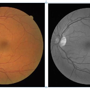
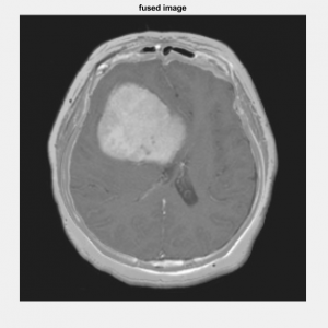
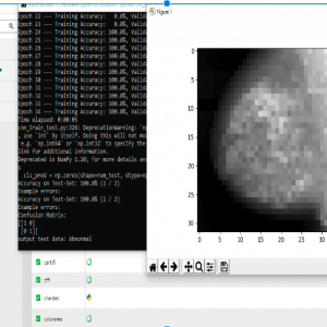
Image fusion is a process, which creates a new image representing combined information composed from two or more source images. Generally, one aims to preserve as much source information as possible in the fused image with the expectation that performance with the fused image will be better than, or at least as good as, performance with the source images. Image fusion is only an introductory stage to another task, e.g. human monitoring and classification. Therefore, the performance of the fusion algorithm must be measured in terms of improvement or image quality.
Several authors describe different spatial and spectral quality analysis techniques of the fused images. Some of them enable subjective, the others objective, numerical definition of spatial or spectral quality of the fused data . The evaluation of the spatial quality of the pan sharpened images is equally important since the goal is to retain the high spatial resolution of the PAN image. A survey of the pan sharpening literature revealed there were very few papers that evaluated the spatial quality of the pan-sharpened imagery . Consequently, there are very few spatial quality metrics found in the literatures.
However, the jury is still out on the benefits of a fused image compared to its original images. There is also a lack of measures for assessing the objective quality of the spatial resolution of the fusion methods. Therefore, an objective quality of the spatial resolution assessment for fusion images is required. Therefore, this study presented a new approach to assess the spatial quality of a fused image based on High pass Division Index (HPDI). In addition, many spectral quality metrics, to compare the properties of fused images and their ability to preserve the similarity with respect to the original MS image while incorporating the spatial resolution of the PAN. Matlab Code for Image Fusion for Satellite Images


Customer Reviews
There are no reviews yet.